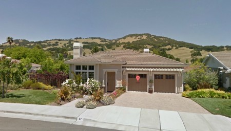
Google Maps is the process of updating it’s Street View service with even higher resolution images, making a neat tool even more useful. Google also recently added a birds eye aerial view allowing a 45 degree angle when viewing properties from above. Both of the tools make it easier to view streetscapes, and to find good local examples of plantings, fences, gates and entryways for landscape projects.

